Key Takeaways & Protocol Essentials
- Maintain rigid spatial folder structures mapping directly from exterior building perimeters into interior room boundaries.
- Preserve immutable camera EXIF timestamps and geolocation metadata across all digital ingestion and transfer workflows.
- Bind every close-up macro damage photo to a numbered wide-angle orientation marker in the estimate line item reference log.
Establishing Hierarchical File Taxonomy
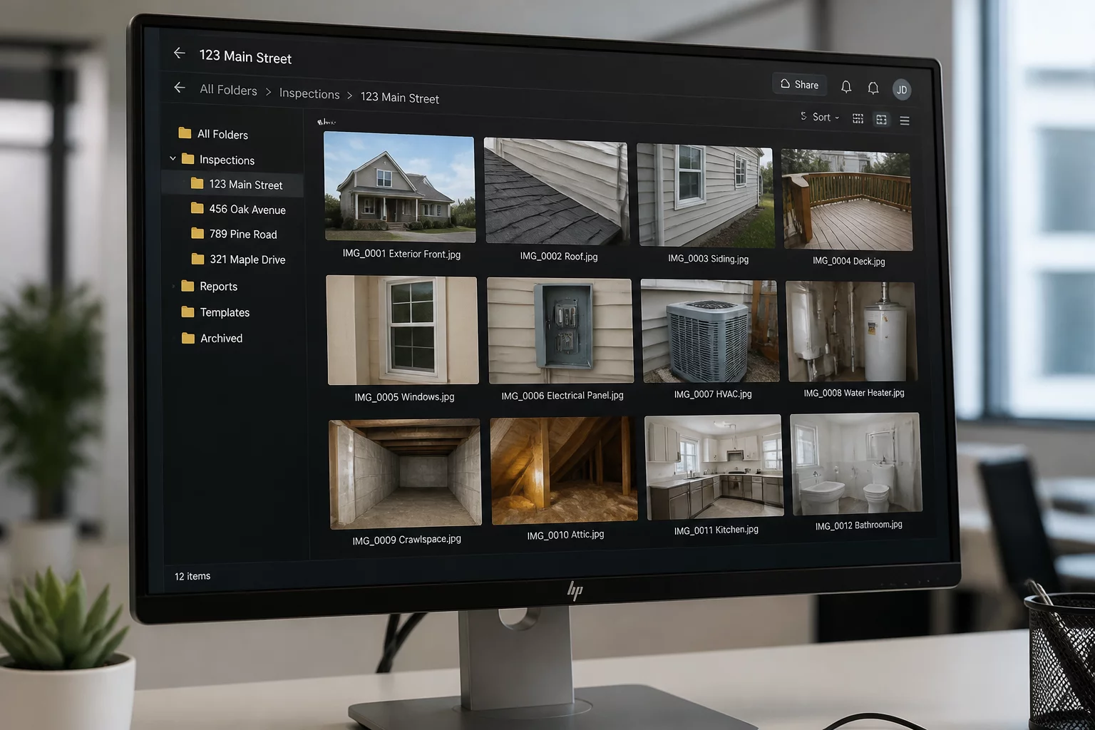
High-resolution field photography quickly loses its evidentiary strength when digital files sit in an unorganized storage repository. During complex property damage reviews, adjusters and independent reviewers must retrace an inspection in the exact physical progression followed on site. Arranging digital assets into discrete spatial tiers—beginning with perimeter elevations, transitioning into primary common areas, and concluding in localized damage zones—creates a logical audit trail that mirrors estimate scope groupings.
When files follow systematic naming conventions, reviewers can connect macro detail shots to overarching room overviews in seconds. Eliminating generic camera prefixes such as IMG_0042 in favor of structured identifiers prevents evidence misplacement, establishes immediate context, and expedites scope reconciliation across multi-trade repair estimates.
Standard Evidence Indexing Protocols
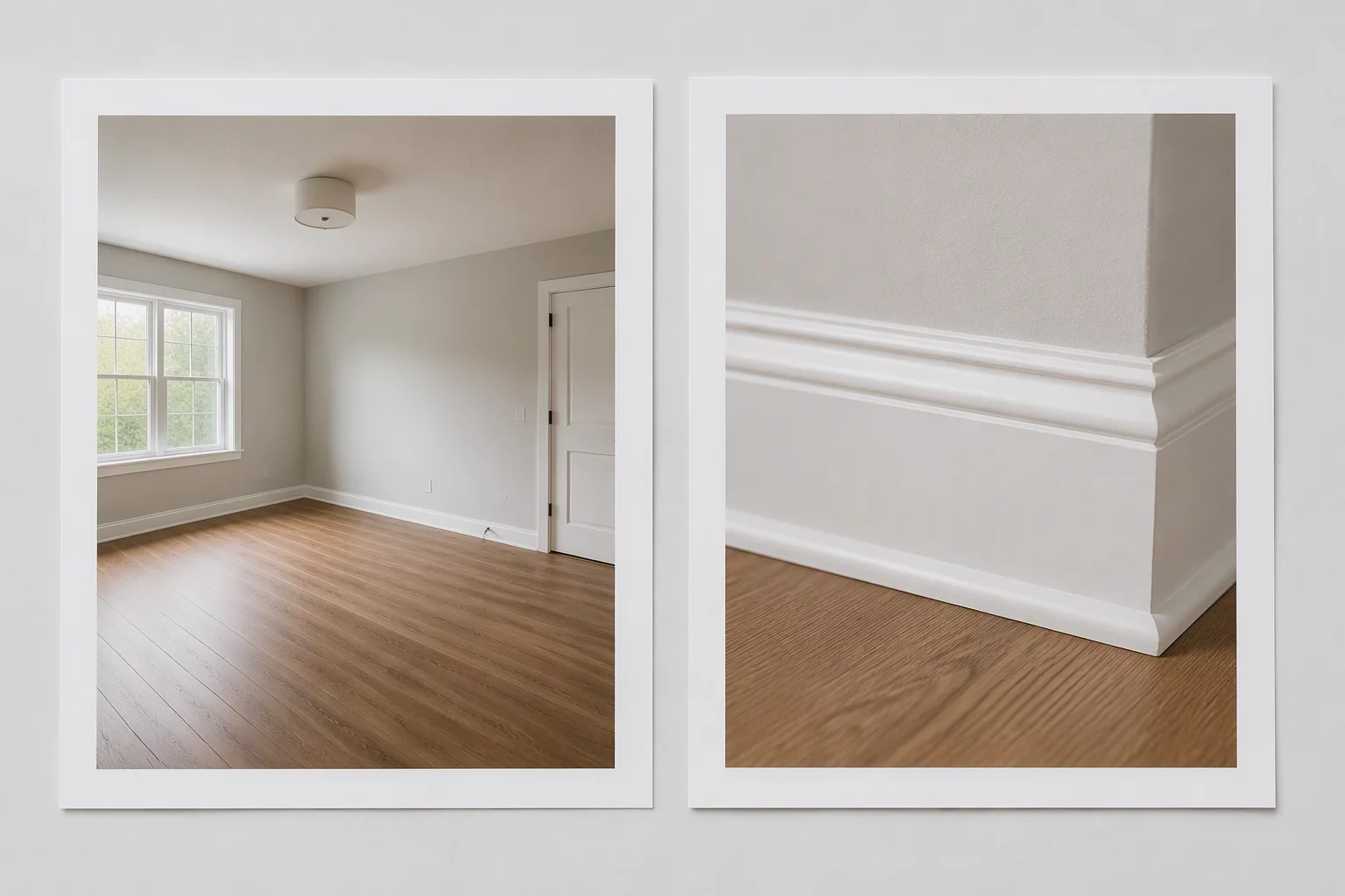
Organize digital captures by distinct exterior elevations and individual interior room enclosures to maintain 1:1 parity with line item scope locations.
Preserve the raw, unmodified capture sequence alongside organized working copies to protect chronological chain-of-custody during peer reviews.
Cross-reference every close-up material defect photo directly with an overview context photo ID to eliminate spatial ambiguity.
Metadata Preservation and Trace Integrity
Embedded image metadata serves as the foundational validation layer for all site inspection records. Consumer messaging apps and aggressive cloud compression algorithms regularly strip EXIF headers during transmission. Preserving capture timestamps, focal focal lengths, sensor exposure values, and GPS coordinates ensures each image withstands rigorous technical audits.
"A damage photograph stripped of its original timestamp and spatial metadata requires twice the verbal explanation and provides half the evidential weight during formal scope review."
Field professionals should implement a strict ingestion protocol that copies untouched master files to a write-protected archive before generating annotated or compressed working files. This dual-layer repository ensures the original digital evidence remains forensic-grade while everyday estimating tasks use lightweight, tagged versions.
Directory Structures and Naming Conventions
| Taxonomy Tier | Recommended Folder / File Format | Evidentiary Role |
|---|---|---|
| Project Root Directory | [YYYYMMDD]_[ClaimID]_[PropertyAddress] | Master file indexing and global archive retrieval |
| Spatial Sub-Folders | [01_Elevations] / [02_Roof] / [03_Level1_Kitchen] | Direct alignment with estimate section hierarchies |
| Standardized File Names | [Zone]_[ViewType]_[ItemCode]_[SeqNo].jpg | Precise cross-referencing between line items and photos |
Field Inquiries & Observations
No comments yet. Be the first to leave a field observation or feedback.
Submit a Field Note or Feedback
Share your site observation insights or questions regarding this methodology.